by Erin RobotGrrl | Oct 30, 2020 | News, Tech Logs
Since the AR view uses the camera, this means the connection has to be secure using ssl. MQTT was added to the AR code, but it can’t communicate over websockets – it has to be secure websockets. The next step will be to generate certificates for the ssl connection.
by Erin RobotGrrl | Oct 29, 2020 | News, Tech Logs
Set up AR framework, the AR detection method that will be used is with custom markers. Ran in to a lot of debugging. Transparent background and cache on the marker pattern were the culprits. Figured it out, and everything works! Marker can be detected, tracks nicely, and calls some javascript. Testing at various distances will be needed to understand how close you can be to the marker. Works at 60fps on modern mobile device. Onto the next, which is integrating MQTT into this.
by Erin RobotGrrl | Oct 26, 2020 | News, Tech Logs
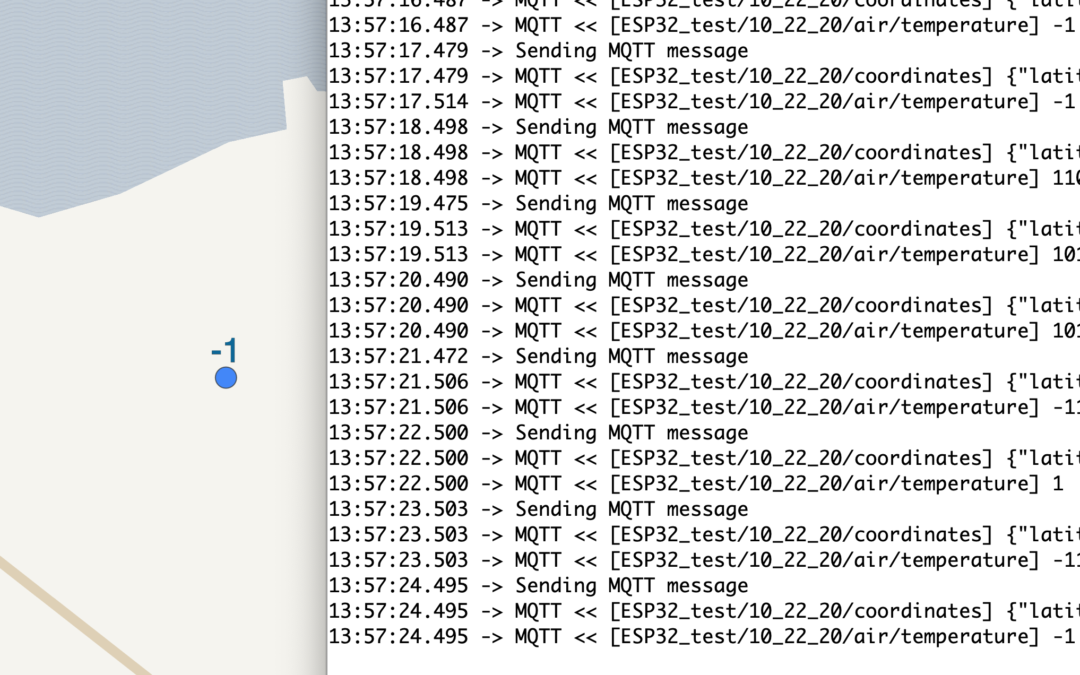
Sending updates from an ESP32 device to the MQTT server is working! Right now, it’s just barebones running with default values for GPS latitude, longitude, and a random number for air temperature. Ran in to a few issues with library selection, but that was easily remedied. It took some time to test the types that are sent and the precision. Once it started to work, was simple. The library being used will retry connection to the MQTT server in 15 seconds if it loses connection. The next steps are either AR view, score counter, or making the sensor device. Tune in for the next log to see which one of those is chosen.
by Erin RobotGrrl | Oct 21, 2020 | News, Tech Logs
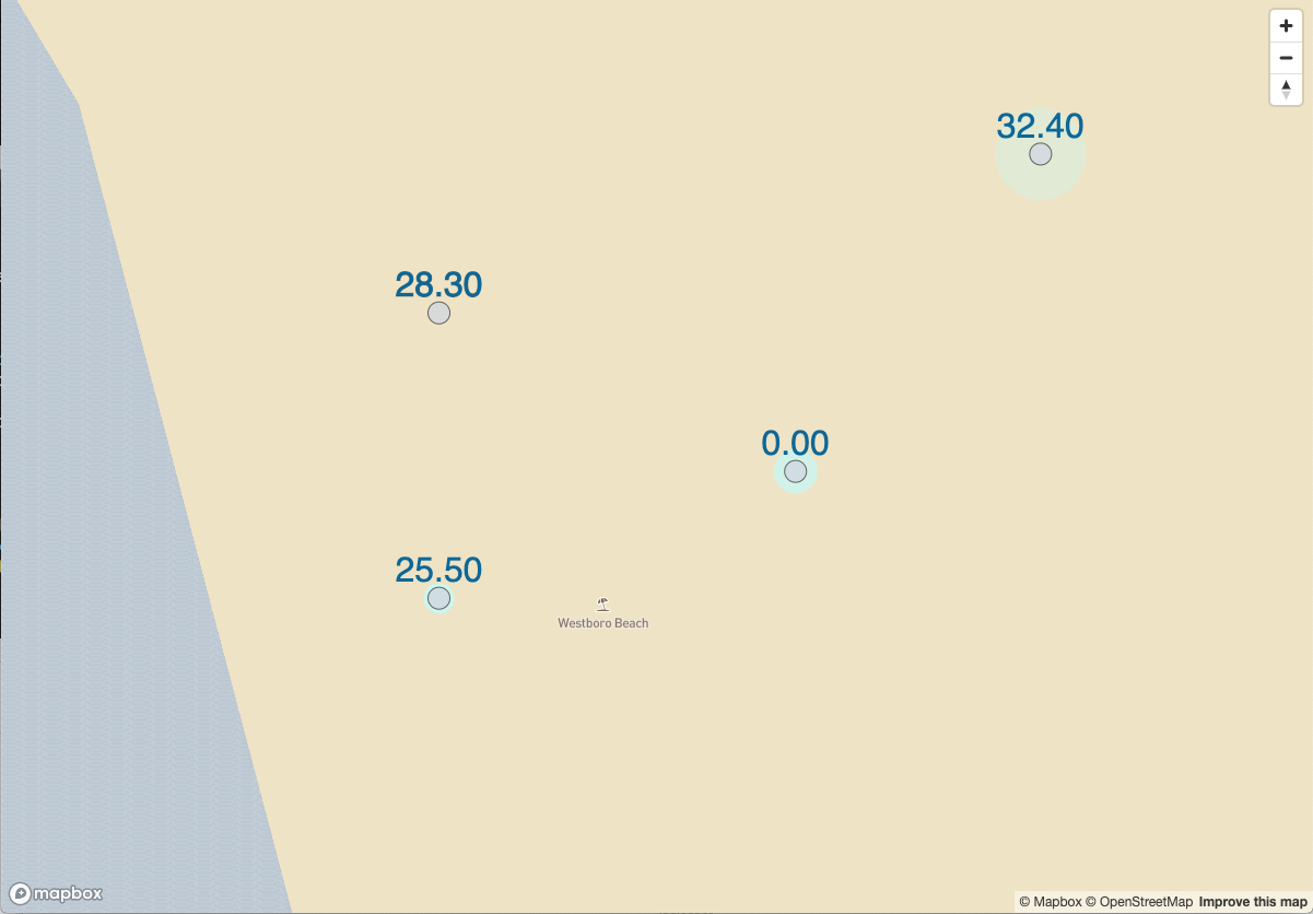
Changes were made to the GPS coordinate payload, as well as the map. Devices now dynamically load / unload based on if the location is in view on the map. Everything works! Check out the video snippet:
Next step is to start adding new devices to the map – so on to the hardware with MQTT on an ESP32.
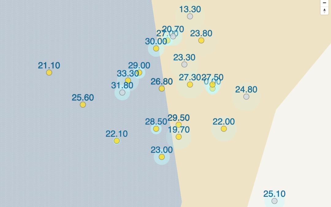
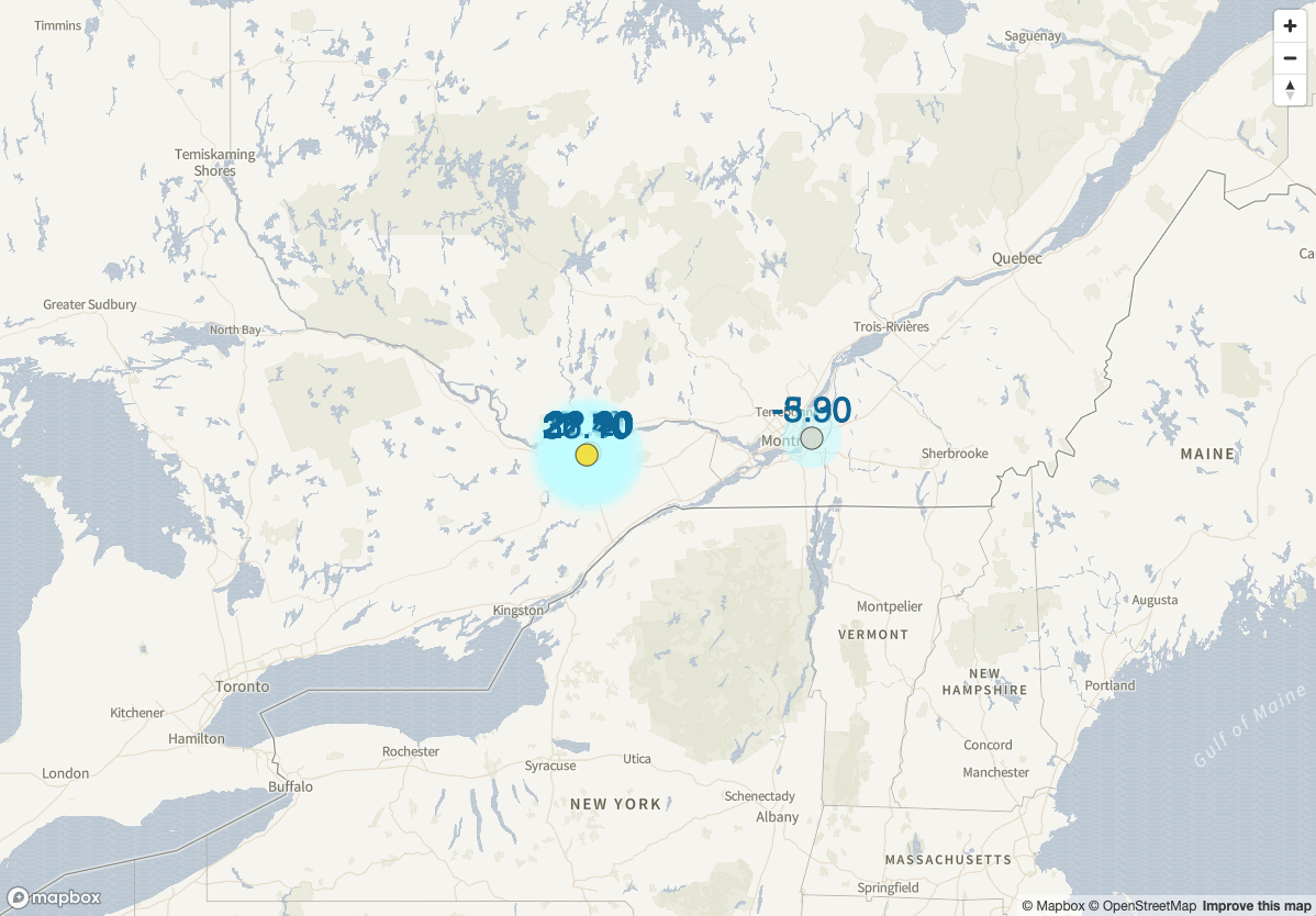
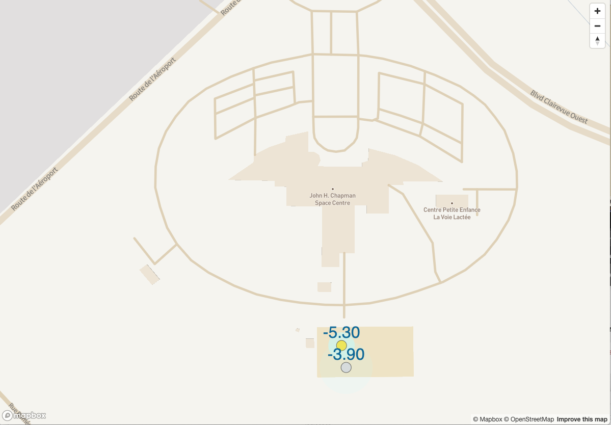
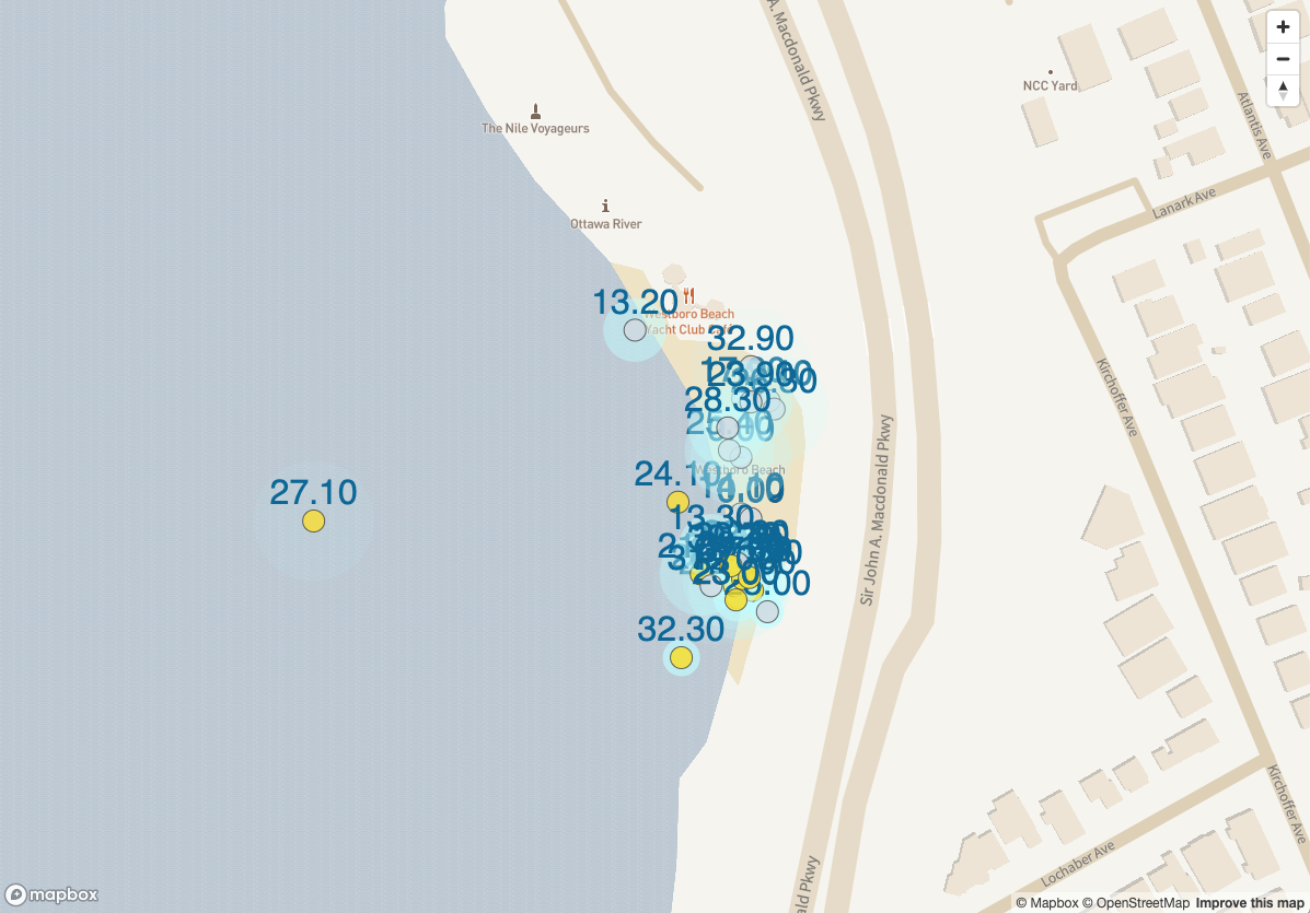
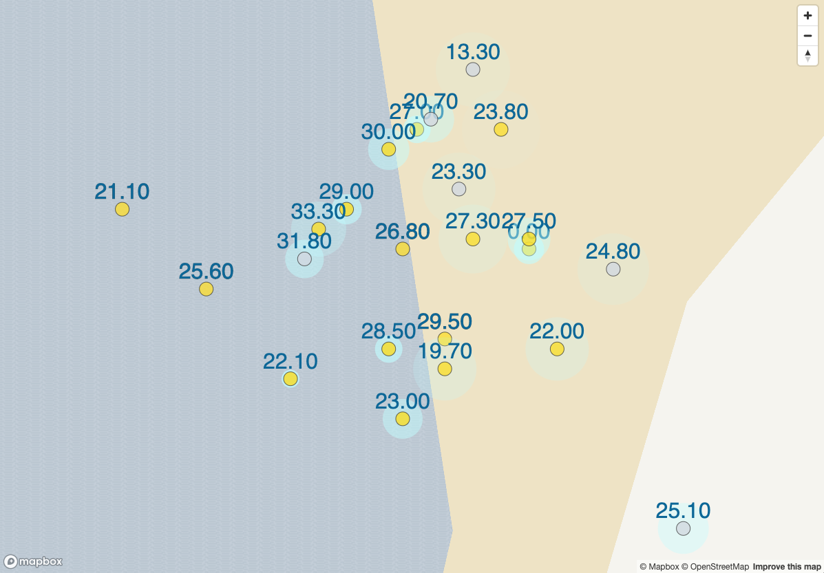
by Erin RobotGrrl | Oct 20, 2020 | News, Tech Logs
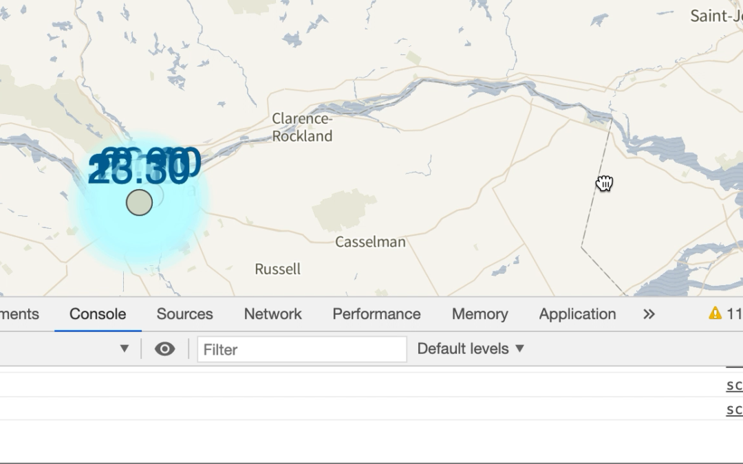
All 51 datalog points are being displayed on the map! The bug from yesterday was fixed. There were three contributing factors, a type error when parsing, a unicode decode error, and the most pertinent one was parsing .DS_Store instead of a real log file. The first two errors were missed because forever is able to restart the scripts automatically upon exit. It was only after looking at the forever logs was it noticed. Glad it was found! The parsing the wrong file was due to not incrementing the line number at the certain part of the code that’s to skip that file. Once those were fixed, the 51 devices were added to the array for the map as expected.
The dots are coloured based on Yellow Bowie or Original Bowie. There is a sound that is emitted too, each time a new MQTT message arrives. It makes for interesting emergences of musical beats, or maybe it’s just noise.
Anyway, it’s cool to finally see where all the data points are situated in the world! Enjoy these screenshots. Next step is to refactor lat & lon messages to be sent as one message, and dynamically load / unload devices.